Or download more packages with examples, the jar only, versions for Processing 1.5, etc.
Its really easy to make your own interactive maps using Unfolding. Check out these tutorials to kick-start your application.
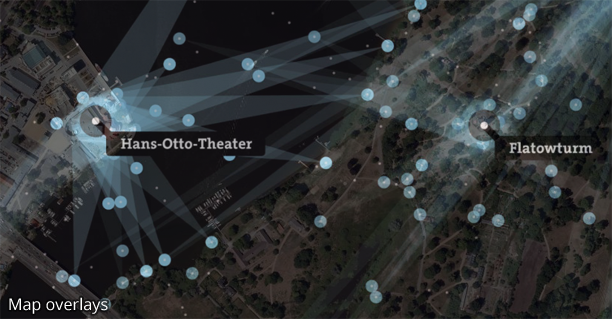
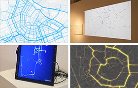
Unfolding enables you to quickly create interactive maps. Basic interactions such as Zoom & Pan are included. More advanced functionality such as Overview+Detail, or multitouch gestures can be easily added.
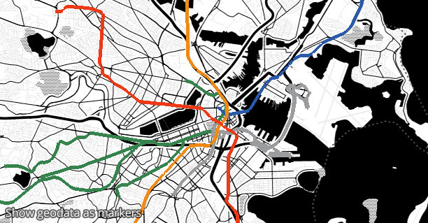
Simply create geo-positioned markers to display data on a map. The visual style can be adapted freely. The library supports loading and displaying user-defined shapes, such as points, lines, or polygons.
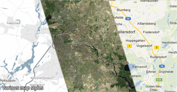
Unfolding is a tile-based map library. Map tiles can have various geographic features, and come in all kind of styles. It comes with various map providers, such as OpenStreetMap or TileMill.
Unfolding enables beginners to easily create simple maps. Advanced users can quickly sketch out prototypes, or create sophisticated visualizations. And expert users can extend Unfolding's functionality.